|
|
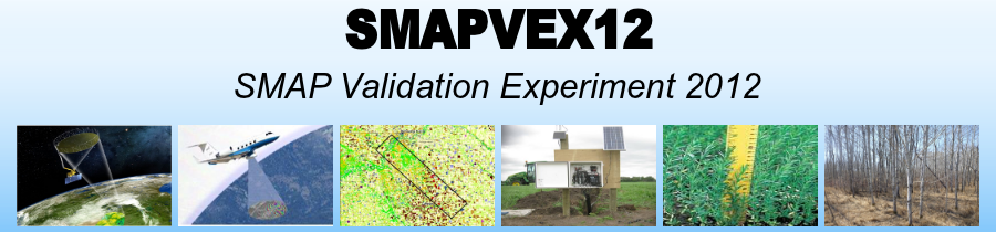
OverviewThe Soil Moisture Active Passive (SMAP) mission is planned to be launched in October 2014. In addition to passive and active microwave measurements, SMAP will provide soil moisture products at low (40 km), high (3 km) and intermediate (10 km) spatial resolutions. During the pre-launch phase of SMAP, field campaigns are established for providing data to develop and evaluate soil moisture retrieval algorithms and support SMAP Applications Early Adopters projects. In this context, the SMAP Validation Experiment 2012 (SMAPVEX12) was designed to support the requirements of soil moisture retrieval algorithms and products; mainly, extended time serie measurements performed under diverse vegetation conditions, including ground, passive and active aircraft and satellite acquisitions. In addition to provide data to simulate the SMAP measurements, low and high altitudes aircraft data will support the development of the combined active/passive algorithms, a key element of the SMAP mission. SMAPVEX12 field campaign will cover approximately six weeks, from June 6 to July 17, 2012 in order to understand the SMAP products in relation to the variations in both soil and vegetation water content, to develop soil moisture retrieval algorithms in several conditions including the peak of vegetation. During the campaign, spaceborne microwave measurements from SMOS, AMSR-E, WindSAT, and RADARSAT-2 will be collected along with airborne measurements using active and passive instruments including NASA’s L-band Uninhabited Aerial Vehicle Synthetic Aperture Radar (UAVSAR) flown in a Gulfstream III piloted aircraft, and the Passive/Active L-band Sensor (PALS) on board the Twin Otter International. In addition, the experiment will provide ground measurements of soil moisture, soil temperature, and others surface characteristics (vegetation, roughness, and soil density, etc.) at a time close to satellite and airborne acquisitions. SMAPVEX12 will take place in an agricultural region south of Winnipeg, Manitoba (Canada) with a range of crop types, some permanent grassland, wetlands and mixed forest cover. The site is about 15 km x 70 km within the larger Red River Watershed. It benefits from the existing Agriculture and Agri-Food Canada (AAFC) permanent in situ soil moisture stations. These will be augmented by about 50 temporary stations from the United States Department of Agriculture (USDA), AAFC, and Manitoba Agriculture, Food and Rural Initiatives (MAFRI). SMAPVEX12 is funded by several agencies in Canada (CSA, AAFC, EC, and NSERC) and US (NASA). It complements the Canadian Experiment for Soil Moisture in 2010 (CanEx-SM10) by providing extensive data sets for the development and validation of SMAP passive and active soil moisture retrieval algorithms. |
|
|
|
|
|
|
|
|
|
|
|
|
|
|